Illustrated Maps of Vermont
What do you think of when you hear the name “Vermont”?
Does “Vermont” make you think about food, like maple syrup, ice cream or cheese? Do you think about activities, like snowboarding, hiking, or hunting? Maybe you think about scenery(the landscape or the view of the land), like mountains, lakes, or colorful leaves in the fall?
Many ideas and images can represent Vermont. The state has rural(country, not the city) towns with forests and farms and few people. There are urban(city, not the country) cities with stores and businesses and a lot of people. There is not one place, food or activity that sums up the whole state. Vermont means different things to different people.
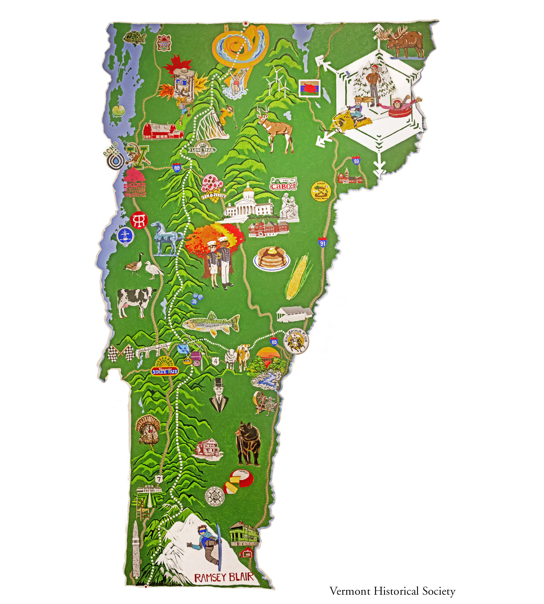
An artist painted this mural(large artwork or painting on a wall) on a wall at the Vermont History Museum in 2017. She included some well-known Vermont businesses like Cabot Cheese and King Arthur Flour. Can you find the Vermont State Fairgrounds or the water park at Jay Peak? What pictures let you know this is Vermont?
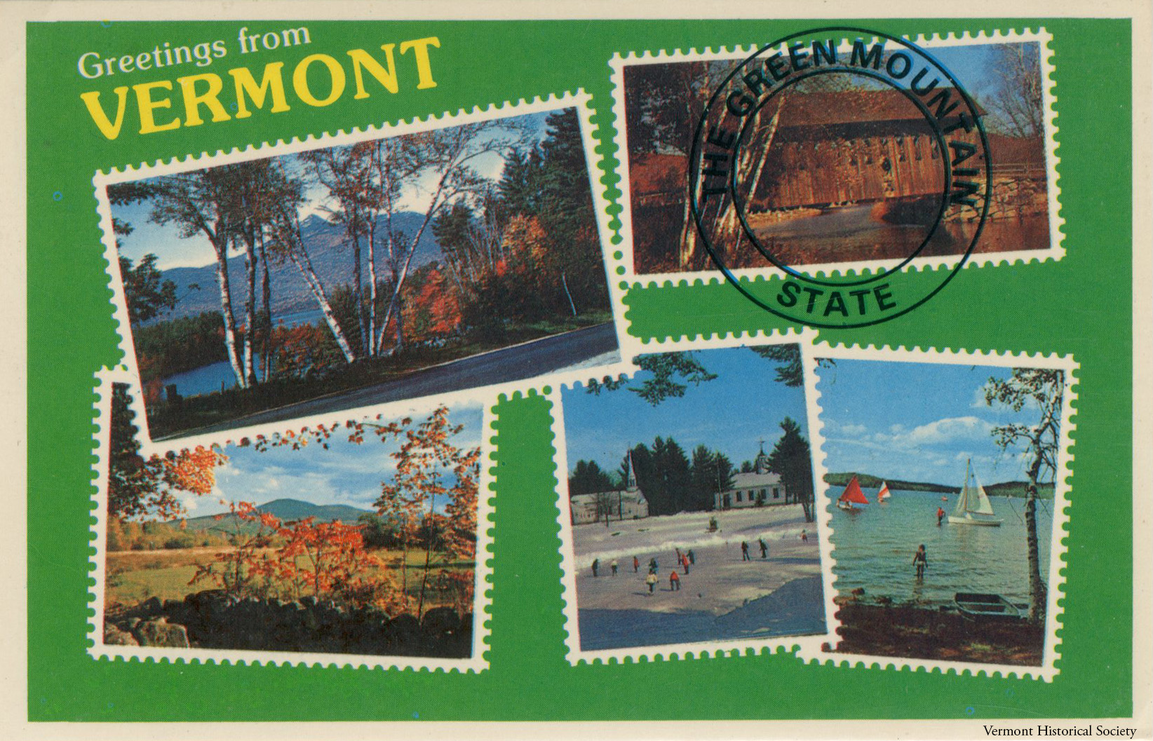
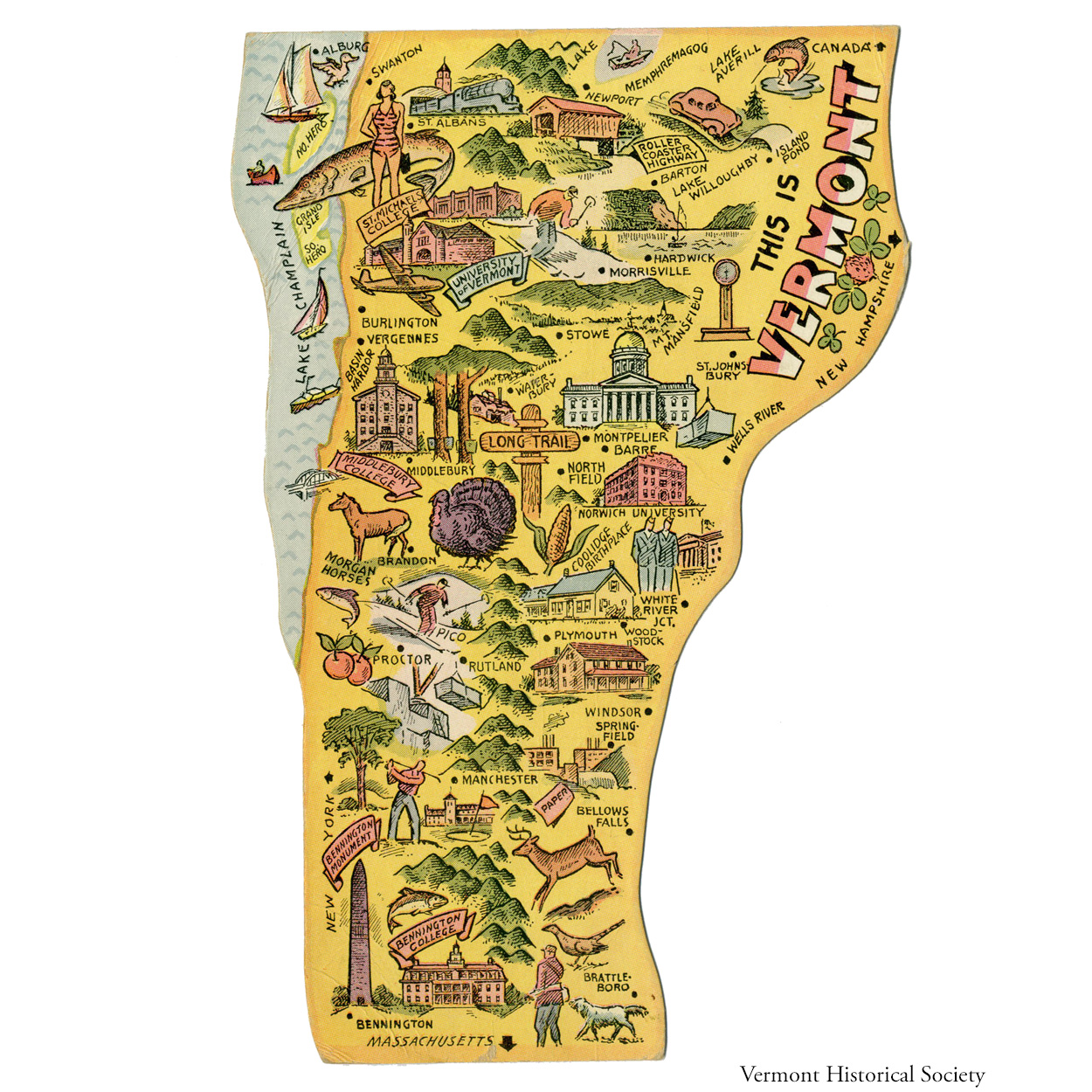
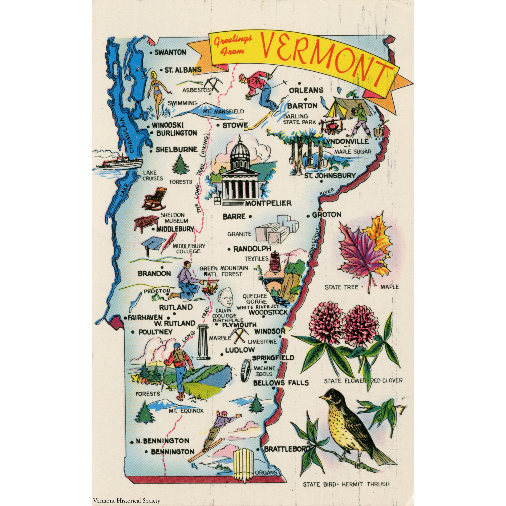
We can look at historic maps and postcards to compare images of Vermont from different years. Look carefully at these three pictures below. How have pictures of Vermont changed over time? How have the pictures stayed the same?

Thinking About History
Historians ask questions to think deeply about history.
The artists who made these images of Vermont made choices about what to include. They also made choices about what to leave out. What information could you add to include more diversity or multiple perspectives?
Learn More
Follow the links below to explore related topics.
Explore a 1919 map of Industries in New England
What Vermont stories and resources are included on this 1938 map?
Learn about panoramic maps of Vermont cities
See other postcards with maps of Vermont
Draw your own illustrated map of Vermont. What pictures would you use to represent the state?
Copy and paste this citation to show where you did your research.
Vermont Historical Society. "Illustrated Maps of Vermont." Vermont History Explorer. Accessed January 28, 2026. https://sitemaps.vermonthistoryexplorer.org/illustrated-maps-of-vermont