Becoming a State
How can primary sources explain how Vermont become the size and shape that it is today?
Overview
This three-day lesson introduces the students to the conflicts between the Yorkers and the New Hampshire Grants by asking the students to pretend they are settlers or investors who receive charters and patents for new towns in Vermont. The students divide the towns and investigate the natural resources on their land. After writing their own Constitution, the students learn about Vermont’s Constitution and see the official document that made Vermont the 14th state.
Lesson Plan
Becoming a State Lesson Plan (PDF)
Files for Becoming a State to print or save
- New Hampshire Town Charter (PDF)
- New Hampshire Lotting Plan (PDF)
- New Hampshire Lotting Plan Numbers (PDF)
- 1869 Bennington Map (PDF)
- New Hampshire Writing Prompt (PDF)
- New York Land Patent (PDF)
- New York Lotting Plan (PDF)
- New York Lotting Plan Numbers (PDF)
- 1869 Readsboro Map (PDF)
- New York Writing Prompt (PDF)
- Town History Writing Prompt (PDF)
Files for Becoming a State to project or print
Become a State slideshow includes:
- 1813 Vermont Map by Mathew Carey (JPEG)
- 1764 Boundary Declaration (PDF)
- 1774 Map of New Hampshire Grants by Thomas Jeffreys (JPEG)
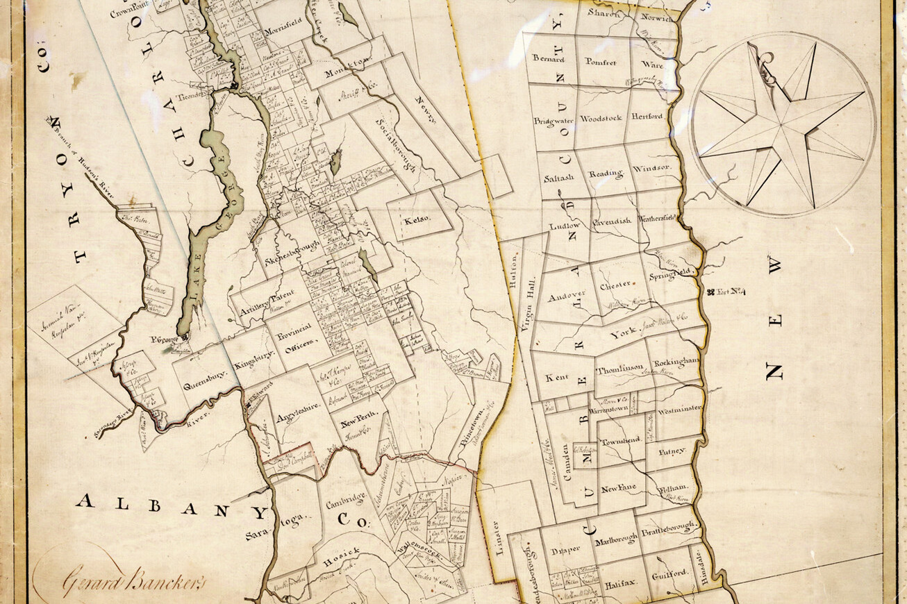
- 1775 Map of New York Patents by Gerard Bancker (JPEG)
- 1777 Vermont Constitution (JPEG)
- 1777 Vermont Constitution Transcription (outside link)
- 1791 Vermont Statehood Document (JPEG)
Related Activities
