Maps
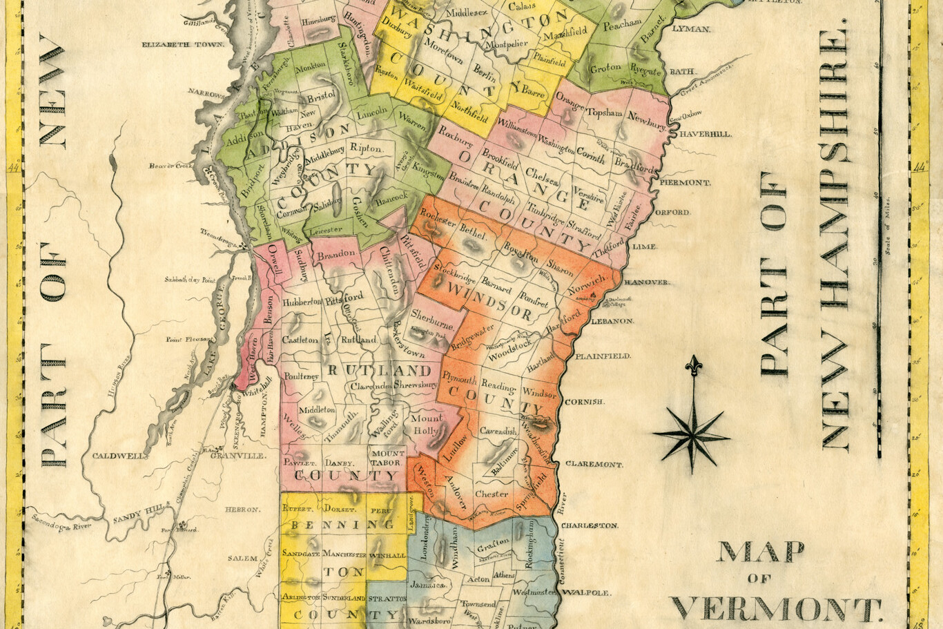
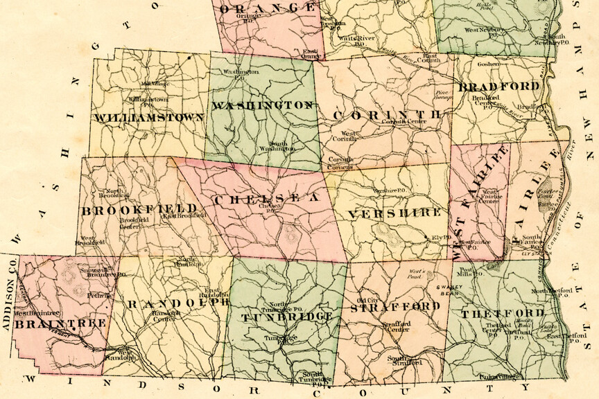
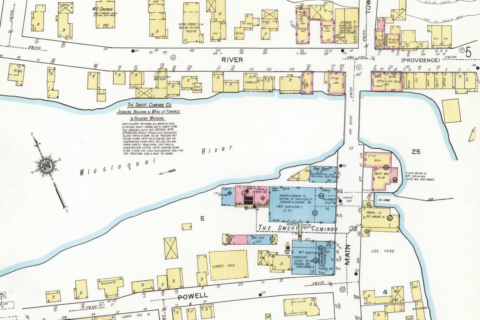
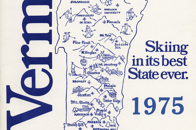
What evidence can you find in maps that Vermont has changed over time?
Learn More
Follow the links below to explore related topics.
Vermont Maps from Middlebury College Map Collection, including many town maps from the mid-1800s
Panoramic Maps of Vermont from the Library of Congress, showing a brid's-eye view of towns from the late 1800s
Crafts Book of Plans from the Vermont Historical Society Collection, with early maps of towns in northeast Vermont, 1790s
Vermont Lotting Plans from the Vermont State Archives, includes plans for existing and historic towns
Sanborn Fire Insurance Maps from the Library of Congress, detailed maps of downtowns from late 1800s-early 1900s
Vermont County Maps from the Library of Congress, maps from the mid-1800s
Vermont Maps from the David Rumsey Collection, variety maps including many from atlases
Vermont Maps from the Osher Map Library, variety of maps
Vermont Maps from the Norman B. Leventhal Map & Education Center at the Boston Public Library, variety of maps
Historical Maps of Burlington and Winooski at the University of Vermont


